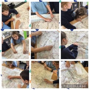
Year 6 spent an afternoon looking at ordnance survey maps as part of our geography learning. We looked at scale, and used different methods to measure the distance between places. We also used our sticky knowledge to work out four figure and six figure grid references, looked at contour lines and what this shows us about the topography of an area.